About the Collection
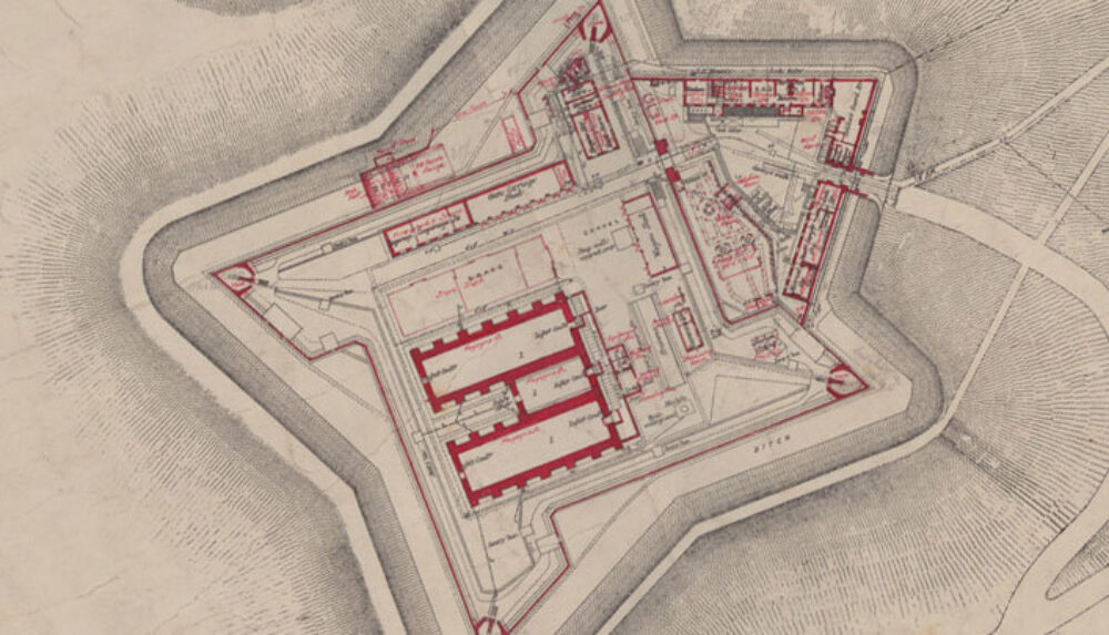
The Maps, Plans and Drawings collection of Military Barracks and Posts in Ireland (MPD Collection) is one of our newest online resources for researchers. Taken from a collection of 19th and 20th century paper architectural maps, plans and drawings of military installations throughout the island of Ireland, it offers a unique opportunity to explore Ireland’s military architectural heritage.
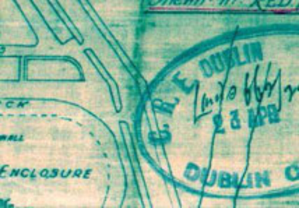
The MPD collection has come from a variety of sources, both under the British (UK) and Irish (Free State and Republic) administrations. The vast majority of Irelands surviving military installations, including barracks, posts, camps, forts and castles were constructed by the British during the 19th century. Accordingly, most of the MPD records were originally produced for the War Office (contemporary Department of Defence equivalent) by the Royal Engineer Corps of the British Army. These drawings were produced mainly from the Southampton drawing offices, but often in conjunction with the Ordnance Survey offices at Mountjoy Barracks in the Phoenix Park Dublin, which today houses the Ordnance Survey of Ireland. These barracks were constructed under the auspices of such Crown organisations as the Board of Public Works and later the Barracks Board.


